DIVY
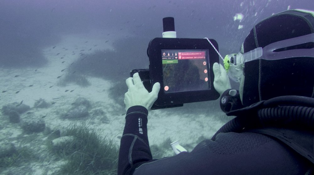
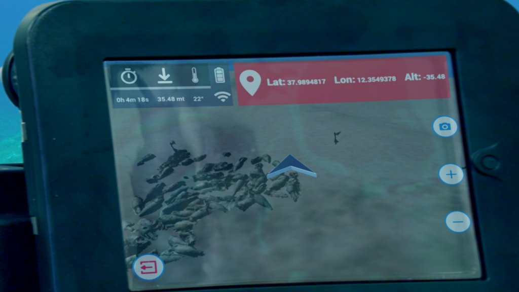
DIVY is a virtual underwater guide, designed to offer an innovative augmented reality experience to the divers who are exploring an underwater archaeological site. The system consists of a simple 10“ tablet, equipped with a waterproof case, and an acoustic geo-localization system, i.e. a proper underwater GPS system that allows visitors to know their position in real time. The location is shown on a 3D map of the entire area, which allows for tracing the path of the visit and for reading the various points of interest containing historical-archaeological information about the remains.
Moreover, thanks to an array of sensors, Divy is able to provide useful information to scuba divers, such as depth, water temperature, timer and oxygen level. It is also possible to take geo-localized photographs and share them instantly on the social network for the diving community, Divebook.
Hardware
- 10'' tablet
- Waterproof case
- Acoustic geo-localization system
Software
- Navigator
- Water Temperature
- User Interface
- Depth Controller
Fields of application
Maritime tourism
Archaeological surveys
Environmental monitoring
Criminal investigations
Rescue
Gallery